Trekking
Directly from the house you can start several walks of different grades, from easy strolls to more challenging hikes for walkers of all ages and abilities. In the area close to the hotel are many marked and proven hiking paths. We offer maps and other information in your language about the best walks.
This trekking route you can start from the Finca (Distance: 3h40min/15.5km).
When you walk out of Finca Casa del Paso in about 50 meters you are on the blue line south of the map near 232. (click picture to enlarge). From there you take a right and follow the path.
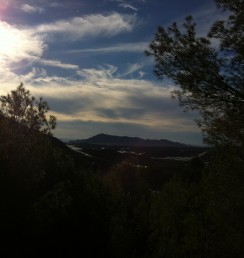
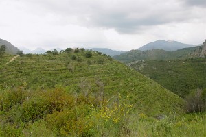
the road reveals the summits of Bernia, Ponoch, Puig Campana and Aixorta. Almond and olive trees become most dominant, but here and there you find apple and plum trees.
Soon after you reach the highest point of the hill and have a clear view over Tarbena, a narrow asphalt road with a sign for Rafalet ascends from the right hand side of the road (1h) (510 m). Take this road. When it forks (1h3min) (520 m), go right downhill. The road turns into a walkway. At a sharp bend left downhill (1h10min) (500 m), take the track that goes straight ahead. Do not continue on the walkway.
When the track forks (1h15min) (475 m), go right downhill. The track is lined by bright broad-leaf trees, wild asparagus and blackberry bushes. When you come to a crossroads (1h35min) (360 m), keep straight ahead, and when the track forks (1h40min) (330 m) by a ruined building, go left downhill. Ahead, on the opposite side of the valley you see the gorge of Curt (Barranco del Curt) and the track you are heading to. In the northeast you see the mountain range of Ferrer.
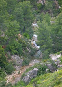
The route crosses the Algar river (1h52min) (220 m). On the other side of the river, the track forks. Go right.
The track ascends through a pine forest to Casa Pons which you find on top of the Pollastre hill (2h15min) (335 m). Heading southwest the track stays on the slopes of Sacos offering views to the river before descending to an avocado grove. At the crossroads (2h50min) (185 m) keep straight ahead and you meet the Algar river again.
Soon after crossing the river, you come to a junction. Turn sharp right. The road leads you through citrus groves to another, wider road (3h05min) (245 m). Turn right on this asphalt road which leads you back to Finca casa del Paso.
You can also check out Wikiloc to see all routes nearby Finca Casa del Paso. This website gives a clear view of all the hiking routes nearby Casa del Paso, Bolulla. They are clearly described and vary from moderate to difficult routes:
Click here to see all the hiking routes near Casa del Paso, Bolulla.